Events Calendar
The Clackamas River Basin Council hosts a monthly board meeting on the third Thursday of each month from 6 – 8:30 pm. These meetings are free and open to the public. Please click here to view the: 2026 Board Meeting Schedule. You can email info@clackamasriver.org if you would like to attend and hear more about what CRBC is up to.
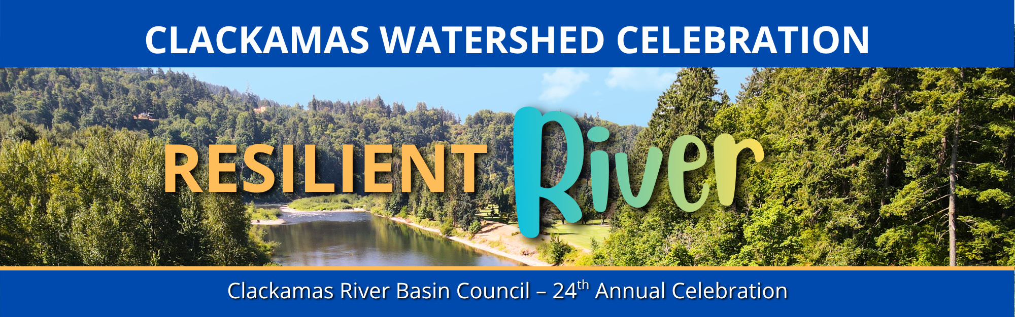
2026 Clackamas Watershed Celebration
All are invited to join CRBC for our 24th annual Clackamas Watershed Celebration! In spirit of our 2026 theme, “Resilient River,” we will be celebrating [...]
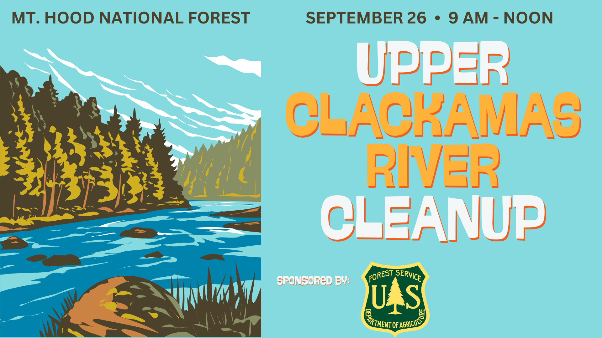
Upper Clackamas Cleanup 2026
Join us for the third annual cleanup in the Wild and Scenic Upper Clackamas River! Taking place on National Public Lands Day, we are calling [...]
Watch Recordings from Previous Workshops and Webinars
Missed a webinar or workshop? No sweat! you can watch the recordings through YouTube: